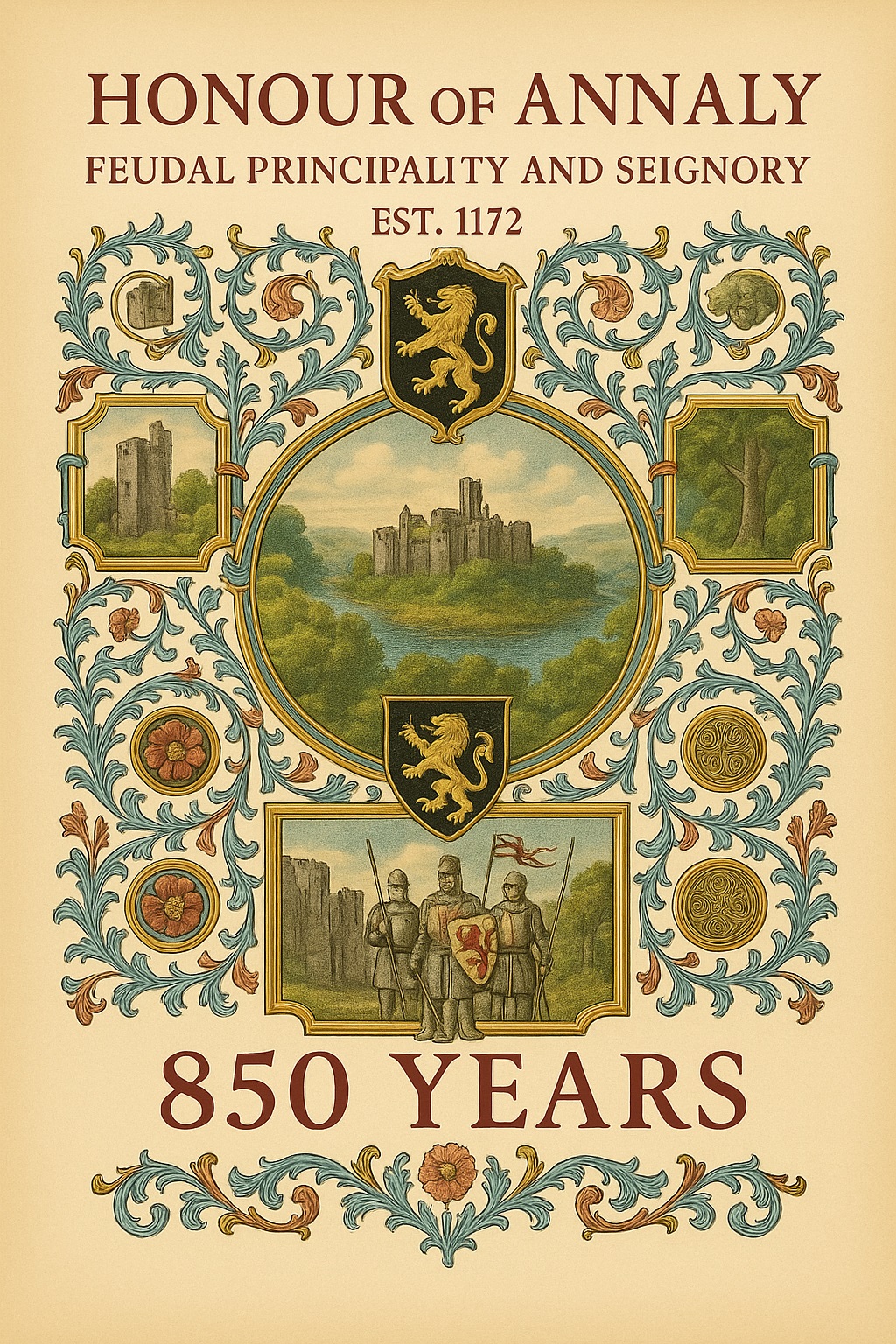
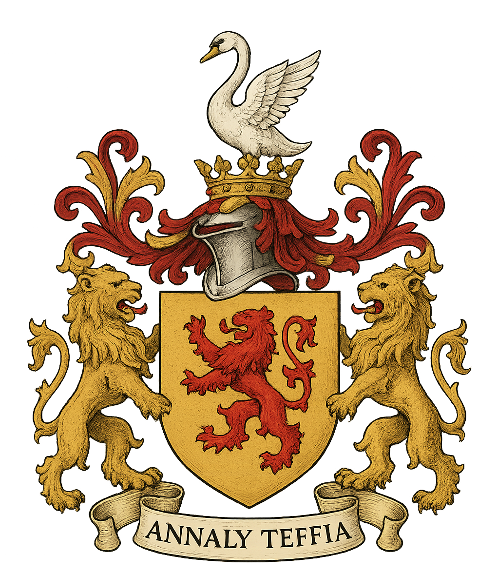
Honour of Annaly - Feudal Principality & Seignory Est. 1172
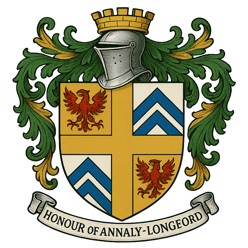


|
Kingdom of Meath – Westmeath, Annaly, and Longford County
**Longford–Annaly and the Nugent Lords:A Historical Essay on Feudal Lordship, Palatine Authority, and Gaelic Integration** IntroductionThe region known historically as Annaly—corresponding largely to modern County Longford—occupies a unique position in Irish history. Once a powerful
Gaelic principality descended from the great kingdoms, the territory later became a central component
of the Liberty of Meath, established under Henry II and administered by the de Lacy
family as a County Palatine. Uniquely, when the male line of the de Lacy earls of Meath
failed, portions of this vast palatine sovereignty devolved upon one of their leading feudal vassals: the
Nugents, the future Barons Delvin and later Earls of Westmeath. Longford County today is a territory was part of the
Kingdom of Meath, Breifne, and Hy Many, and its borders today are almost identical to the ancient
Teffia Kingdom and the Ancient Annaly Kingdom which were later supplanted by the Kings and Queens granting
patents, grants, baronies, manors, rights, liberties, honours, and captainships. Thus began an extraordinary 800-year continuity in which the Nugent family, originally Anglo-Norman, became deeply integrated into the Gaelic aristocracy of the Midlands while simultaneously retaining Crown-recognized feudal baronial, palatine, and manorial rights over segments of ancient Annaly. Their relationship to Longford–Annaly is therefore not merely territorial but constitutional, dynastic, and cultural. I. The Ancient Kingdom of Annaly and TeffiaBefore Norman arrival, Annaly (Anghaile) formed a sub-kingdom emerging from the greater province of Teffia, itself one of the historic divisions of the southern Uí Néill. The O’Farrells, a princely family descended from Angall, held Annaly for centuries, maintaining a sophisticated Gaelic political structure, including:
Teffia and Annaly were therefore legitimate Gaelic kingdoms, recognized as such by native tradition and by early medieval annalists. County Longford in Ireland was historically home to the Kingdoms of: Teffia, Annaly, Cairbre Gabhrain, Conmaicne Rein, and parts of the Kingdom of Meath, with parts of the Kingdoms of Breifne and the Upper and Lower Conmaicne. The Holder of the Honour and Seignory of Annaly–Longford is recognized, for historical and territorial purposes, as the feudal successor-in-representation to the ancient Gaelic kingdoms and principalities whose lands were absorbed into the Principality of Annaly and later converted into a feudal Honour under Norman and Tudor law. This representation includes, by territorial succession, the historic Principality of Annaly (Anghaile), the earlier Kingdom of Teffia (North and South Tethba), and their constituent royal and princely territories, including Cairpre Gabra, Brí Leith (Ardagh), Upper Conmaicne (Maigh Rein), and Delbhna Nuadat. Such representation denotes territorial continuity and historical jurisdiction, and does not constitute a revival of extinct Gaelic kingships, modern state sovereignty, or independent fons honorum. II. Anglo-Norman Expansion and the Liberty of MeathIn 1172, King Henry II granted the vast Liberty of Meath to Hugh de Lacy, bestowing palatine powers—quasi-regal authority including:
Annaly formed part of the extended Lacy influence, even though Gaelic resistance remained strong. When portions of the Lacy line failed, lands and feudal prerogatives were distributed among loyal vassals, including the Nugents, who had arrived with the Anglo-Norman forces. III. The Rise of the Nugents (Barons Delvin)The Nugents rapidly increased in prominence. They received: 1. The Feudal Barony of DelvinGranted in the early 13th century, this barony in Westmeath became the seat of Nugent power. 2. The Position of Sub-Palatine LordsAs successors to aspects of de Lacy jurisdiction, they held a form of sub-palatinate within Meath. 3. Integration with Gaelic DynastiesAcross generations the Nugents intermarried with:
This created a unique hybrid tradition: Norman in legal form, Gaelic in alliance and lineage. IV. Royal Grants Over Annaly and LongfordBeginning in the 16th century, Crown policy formalized Nugent authority in Annaly. Key grants include: 1541 (Henry VIII)
1552 (Edward VI)
1557 (Philip & Mary)
1565 (Elizabeth I)
1605 (James I)
Collectively, these grants established the Nugents as:
The English Crown and Church granted both the spiritual and temporal authority of the ancient Christian principality of Annaly (Teffia/Anghaile) to the Barons Delvin (Nugent family) because Ireland—Christian since the 5th century and one of the earliest Christian nations in Europe—had long fused sovereignty with sacred ecclesiastical power, making political rule inseparable from control of abbeys, holy sites, and monastic jurisdictions. The O’Farrell Princes of Annaly had derived their legitimacy from the sacred seat of Ardagh, from patronage over abbeys, monastic granges, holy islands such as Inchcleraun and Inchmore, ancient burial grounds, tithes, advowsons, and the spiritual authority radiating from early Patrician Christianity, while their temporal power was anchored in the military and political capital of Slewght William. To extinguish Gaelic sovereignty legally and completely, the Crown therefore transferred to the Nugents not only the Captaincy and Chiefship of Slewght William (the secular princely office), but also the full complex of religious and monastic rights, including manors, courts, market rights, ecclesiastical patronage, sacred lands, Christian burial areas, and monastic islands—effectively granting them the entire sacred and administrative infrastructure through which the O’Farrells had ruled for nearly a thousand years. By merging these grants between 1552 and 1620, culminating in the creation of the Earldom of Westmeath, the Crown installed the Nugent Barons Delvin as its legal successor-in-title to the Christian–Gaelic princely sovereignty of Annaly, forming the basis of the Feudal Honour and Seignory of Longford–Annaly, a Crown-recognized successor to the ancient principality. V. The Earls of Westmeath and the Consolidation of AuthorityIn 1621, the Barons Delvin were elevated to Earls of Westmeath. This elevation did not extinguish but rather augmented the family’s territorial dignity. Throughout the 17th century they:
The Earls of Westmeath became symbolic heirs to both the Norman palatine liberties and Gaelic princely traditions of the Midlands. Over the last 850 years of Baron Delvin ruling over Westmeath, the Nugent family intermarried Irish nobility for generations and became both indigeneous nobility and Crown recognized rulers. The original Barony of Delvin extended into the County Longford region, and with successive grants in all of the County Longford Baronies from Henry VIII to King James, the Delvins acquired the: Court Leets, Markets and Fair, Franchises, Manors, and rights throughout Annaly Teffia displacing all of the princley rulers where the Baron Delvin/Nugent Family eventlualy became Captain of the Annaly and Earl of Westmeath. Over hundreds of years, the Baron Delvin was also Governor of Ireland - Baron Delvin 1534, Sheriff of Meath 1424, 1452 Seneshal of Meath, Lord Deputy Ireland 1444, and served in Irish Parliament on multiple occasions. The ancient princely lordships of Annaly and Delvin (Delbhna–Teffia) were all replaced under Feudal and Crown Laws and these were lands: originally ruled by various kings and clans: including Maine, son of Niall of the Nine Hostages, Conmac, son of Fergus Mac Roigh and the legendary Queen Maeve of Connaught, Southern Uí Néill in ancient history, Muintir Giollagain, and O’Fearghail (O’Farrell) dynasty, Princes of Anghaile, and within Teffia Annaly and County Longford existed the noble lords seigneurs and princes of O’Quinn (Ó Cuinn) of Rathcline, Mac Gilligan (Mac Giollagáin) of Muintir Gilligan, O’Mulfeeney (Ó Maolfhíneadha) of Corcard, O’Duignan (Ó Duibhgeannáin) of Ardagh, O’Skelly (Ó Scealláin) and O’Skully (Ó Scolaighe) of South Teffia, O’Reilly (Ó Raghallaigh) and O’Murray (Ó Muireadhaigh) on the eastern borders of County Longford Annaly, Mac Donough (Mac Donnchadha) and O’Hanley (Ó hAinle) near Lough Ree in Annaly, and the O’Fenelon (Ó Fionnaláin) and O’Finnallan chiefs of the ancient Delbhna or Delvin tribes of Western Westmeath and Longford County —collectively forming the hereditary nobility of the old kingdom of Teffia, Meath, and known as the Principality of Annaly, the Kingdom of Meath (Mide), the Kingdom of Teffia (Teabhtha), the Kingdom of Cairbre Gabhrain, the territory of the Conmaicne Maigh Rein, the lordship of Muintir Giolgain of Rathcline, the Kingdom of Annaly (Muintir Angaile), and finally the Principality (or Country) of Annaly–Longford VI. A Hybrid Feudal–Gaelic PrincipalityAcross 800 years, the Nugent/Delvin/Westmeath position evolved into one of Ireland’s rare hybrid principalities, marked by: 1. Ancient Gaelic AlliancesThrough intermarriage, the Nugents were linked to dynasties tracing descent from:
2. Anglo-Norman Legal FoundationThey held Crown-confirmed rights and palatine dignities. 3. Territorial CoherenceLongford/Annaly was not scattered holdings, but a geographic principality. 4. Endurance Across CenturiesTheir grants survived upheavals by:
Even when the Irish State ceased recognizing noble titles, the feudal rights, seignory, and honor remained as private legal hereditaments. VII. Modern SignificanceThe Honor and Seignory of Annaly / Longford, conveyed in the 20th century according to private law, represents:
The modern holder stands in the historic continuum of the: Barons Delvin → Earls of Westmeath → Feudal Princes and Chief Lords of Annaly and Teffia Their position represents a unique legacy of Ireland’s medieval, Gaelic, and feudal constitutional history. ConclusionLongford–Annaly’s relationship with the Nugents is not a footnote of medieval history; it is one of the most enduring territorial lordships in the British Isles and Ireland. Through a long succession of grants, alliances, inheritances, marriages, and Crown confirmations, the Barons Delvin and Earls of Westmeath emerged as the hereditary sub-palatine lords of Meath, feudal princes of Annaly, princely captains of Teffia, and custodians of an honor and seignory stretching back to the era of King John. In Longford–Annaly, Gaelic sovereignty, Norman feudalism, and royal authority merged into a single dynastic tradition that has survived for over eight centuries, making the Nugent dominion one of the most remarkable instances of historical continuity in Ireland. ✅ THE DESCRIPTION OF NUGENT / BARON DELVIN’S HISTORICAL STATUS**1. “Sub-Palatine Lord of Meath”(heir to the de Lacy palatine jurisdiction)** Meath was granted in 1172 by Henry II to Hugh de Lacy as a full County Palatine with near-regal powers (jura regalia). When the male Lacy line failed, large segments of this palatine authority devolved to their feudal heirs—the Nugents of Delvin. Therefore, the Baron Delvin is properly described as: ✔ Sub-Palatine Lord of the Liberty of Meath✔ Feudal Successor to the de Lacy PalatinateThis is not a claim—it is documented in:
**2. “Chief Lord of Annaly”(Feudal Overlord of the Ancient O’Farrell Principality)** By the series of grants (1541, 1552, 1557, 1565, 1605), the Nugents became: ✔ Feudal Baron-Palatine of Annaly✔ Hereditary Lord of the Annaly Territories✔ Overlord of both North and South AnnalySince the Kings of England later surrendered all such claims, the Nugent baronial dignity remained the only surviving feudal lordship over ancient Annaly. Thus, the Baron Delvin is accurately described as: ✔ Chief Lord of Annaly (North, South, and the Whole)**3. “Princely Captain of Teffia”(Captaincy = Princely Office)** The 1565 patent granting Nugent the: “Captainship of Slewaght (Slewghte) William in Annaly”(Clan Liam – covering Ardagh, Edgeworthstown, eastern Annaly) A Captaincy in Tudor political language was the equivalent of: ✔ Governor✔ Chieftain of a Country✔ Princely Lord (under the Crown)Thus the Nugent was: ✔ Princely Captain of Teffia (the eastern half of Annaly)Teffia = the older over-kingdom from which Annaly arose. This region was considered an ancient petty kingdom under the O’Farrell and O’Cuinn dynasties. 4. “Baronial Princeps of the Honor of Annaly–Longford”Because the Nugents held:
✔ Princeps (Leading Prince / Chief)✔ Feudal Prince of Annaly and Teffia✔ Holder of an Honor with Princely IncidentsHonors were proto-principalities:
Annaly–Longford was legally an Honour, confirmed in the grants. **5. “Feudal Count Palatine of Meath”(as recognized in later grants)** Several of the 16th-century grants literally state: “…to hold in capite by knight’s service as Count Palatine of the said liberty.”This means: ✔ The Nugent Baron of Delvin held a sub-pallatine county✔ He exercised palatine prerogatives on behalf of the CrownThis is analogous to:
✔ Count Palatine (Sub-Palatine) of Meath & Annaly🎖 COMPLETE, FORMAL DESCRIPTION OF HIS STATUSThe Baron Delvin (Nugent) was a hereditary Sub-Palatine Lord of the Liberty of
Meath, This is the legally correct and historically accurate synthesis. The Administrative County of Longford was part of various Kingdoms over the last 2000 years. The name Longford is an Anglicization of the Irish Longphort, from long (meaning "ship") and port (meaning "port" or "dock"). The name was applied to many Irish settlements of Viking origin and came to mean “fort” or “camp” in Irish. Longfort, the modern Irish spelling, is the name of this town, which was one of the only Gaelic Irish market towns to arise without first being founded by Vikings or Normans. Following the Norman invasion of Ireland in 1172, the
Kingdom of Meath was granted to Hugh de Lacy as the Lordship of Meath by Henry II of England in his capacity as Lord of Ireland. The territory corresponding to County Longford was a frontier colony of the Kingdom of Meath in the first millennium. Between the fifth and twelfth centuries, Longford was known as the Kingdom of Tethbae. By an act of the 34th year of Henry VIII, the ancient palatinate of Meath was divided. The eastern portion retained the name Meath, while the western became Westmeath. County Longford was originally part of Westmeath but was established as a distinct county by Queen Elizabeth in 1586. The Counties of Meath and Westmeath Act (Henry VIII 34) of 1542 proclaimed Westmeath a county, separating it from Meath. Longford, originally known as Annaly (Anghaile or Anale), was a principality of the O’Farrell chiefs and was part of County Meath. In the 12th century, Henry II granted it to Hugh de Lacy, who began an English colony there. Upon Meath’s division in 1543, Annaly was included in Westmeath. By 1569, Annaly was a shire known as Longford. With an area of 1,091 km² (421 sq mi) and a population of 40,810, Longford is the fourth smallest of Ireland’s 32 counties by area and the second smallest by population. It borders Cavan, Westmeath, Roscommon, and Leitrim. Administrative Barony HistoryAnciently, Longford barony was part of a territory known as Cairpre Gabra (northern Tethbae), later Muinter Anghaile (Annaly). The barony included Moytra (Clongesh and Templemichael) and Clan Hugh (Killoe). Carn Clonhugh served as a ritual centre for Clan Hugh (Clann Aoidh). Anghaile or Annaly, formed out of the ancient territory of Teffia, comprised all of County Longford and was the principality of O’Farrell. His chief residence was the town of Longford, anciently called Longphort-Ui-Fhearghail (“Fortress of O’Farrell”). This territory was divided into Upper and Lower Annaly — the former held by O’Farrell Buidhe (“the Yellow”) and the latter by O’Farrell Ban (“the Fair”). In 1172, Henry II despoiled Murchard O’Melaghlin of Meath and granted it to Hugh de Lacy, appointed as Lord Palatine. De Lacy divided the territory among his loyal barons — known as “De Lacy’s Barons.” Longford–Westmeath Grants to Lord Delvin (Westmeath)1552 Grant to Nugent: The Convent of Longford was founded in 1400 for Dominicans by O’Ferrall, Prince of Annaly. It was known for its learned friars — Connor, Diarmed, and Henry Duffe M’Fechehan — who died during the plague of 1448. By 1552, the monastery and lands were granted to Richard Nugent and his heirs in capite. St. Brigid’s Priory was dissolved and became the first Longford property to receive a Crown grant (1556–7) to Richard Nugent, Baron of Delvin. Westmeath Ancient Boundaries (Baron Delvin)County Longford – Barons Delvin had Patents in all 6 Baronies
Ancient Kingdoms of County Longford🏰 1. Teffia (Teabhtha)
👑 2. Annaly (Anghaile or Muintir Angaile)
🛡️ 3. Cairbre Gabhrain
🌿 4. Conmaicne Rein (or Conmaicne Maigh Rein)
🏛️ 5. Kingdom of Meath
|
About Longford Feudal Prince House of Annaly Teffia Rarest of All Noble Grants in European History Statutory Declaration by Earl Westmeath Kingdoms of County Longford Pedigree of Longford Annaly What is the Honor of Annaly The Seigneur Lords Paramount Ireland Market & Fair Chief of The Annaly One of a Kind Title Lord Governor of Annaly Prince of Annaly Tuath Principality Feudal Kingdom Irish Princes before English Dukes & Barons Fons Honorum Seats of the Kingdoms Clans of Longford Region History Chronology of Annaly Longford Hereditaments Captainship of Ireland Princes of Longford News Parliament 850 Years Titles of Annaly Irish Free State 1172-1916 Feudal Princes 1556 Habsburg Grant and Princely Title Rathline and Cashel Kingdom The Last Irish Kingdom Landesherrschaft King Edward VI - Grant of Annaly Granard Spritual Rights of Honour of Annaly Principality of Cairbre-Gabhra House of Annaly Teffia 1400 Years Old Count of the Palatine of Meath Irish Property Law Manors Castles and Church Lands A Barony Explained Moiety of Barony of Delvin Spiritual & Temporal Islands of The Honour of Annaly Longford Blood Dynastic Burke's Debrett's Peerage Recognitions Water Rights Annaly Writs to Parliament Irish Nobility Law Moiety of Ardagh Dual Grant from King Philip of Spain Rights of Lords & Barons Princes of Annaly Pedigree Abbeys of Longford Styles and Dignities Ireland Feudal Titles Versus France & Germany Austria Sovereign Title Succession Mediatized Prince of Ireland Grants to Delvin Lord of St. Brigit's Longford Abbey Est. 1578 Feudal Barons Water & Fishing Rights Ancient Castles and Ruins Abbey Lara Honorifics and Designations Kingdom of Meath Feudal Westmeath Seneschal of Meath Lord of the Pale Irish Gods The Feudal System Baron Delvin Kings of Hy Niall Colmanians Irish Kingdoms Order of St. Columba Chief Captain Kings Forces Commissioners of the Peace Tenures Abolition Act 1662 - Rights to Sit in Parliament Contact Law of Ireland List of Townlands of Longford Annaly English Pale Court Barons Lordships of Granard Irish Feudal Law Datuk Seri Baliwick of Ennerdale Moneylagen Lord Baron Longford Baron de Delvyn Longford Map Lord Baron of Delvin Baron of Temple-Michael Baron of Annaly Kingdom Annaly Lord Conmaicne Baron Annaly Order of Saint Patrick Baron Lerha Granard Baron AbbeyLara Baronies of Longford Princes of Conmhaícne Angaile or Muintir Angaile Baron Lisnanagh or Lissaghanedan Baron Moyashel Baron Rathline Baron Inchcleraun HOLY ISLAND Quaker Island Longoford CO Abbey of All Saints Kingdom of Uí Maine Baron Dungannon Baron Monilagan - Babington Lord Liserdawle Castle Baron Columbkille Kingdom of Breifne or Breny Baron Kilthorne Baron Granarde Count of Killasonna Baron Skryne Baron Cairbre-Gabhra AbbeyShrule Events Castle Site Map Disclaimer Irish Property Rights Indigeneous Clans Dictionary Maps Honorable Colonel Mentz Valuation of Principality & Barony of Annaly Longford“The Princely House of Annaly–Teffia is a territorial and dynastic house of approximately 1,500 years’ antiquity, originating in the Gaelic kingship of Teffia and preserved through the continuous identity, property law, international law, and inheritance of its lands, irrespective of changes in political sovereignty.”
Feudal Baron of Longford Annaly - Baron Longford Delvin Lord Baron &
Freiherr of Longford Annaly Feudal Barony Principality Count Kingdom of Meath - Feudal Lord of the Fief
Blondel of the Nordic Channel Islands Guernsey Est. 1179 George Mentz
Bio -
George Mentz Noble Title -
George Mentz Ambassador - Order of the Genet
Knighthood Feudalherr - Fief Blondel von der Nordischen
Insel Guernsey Est. 1179 * New York Gazette ®
- Magazine of Wall Street - George
Mentz - George
Mentz - Aspen Commission - Ennerdale - Stoborough - ESG
Commission - Ethnic Lives Matter
- Chartered Financial Manager -
George Mentz
Economist -
George Mentz Ambassador -
George Mentz - George Mentz Celebrity -
George Mentz Speaker - George Mentz Audio Books - George Mentz Courses - George Mentz Celebrity Speaker Wealth
Management -
Counselor George Mentz Esq. - Seigneur Feif Blondel - Lord Baron
Longford Annaly Westmeath
www.BaronLongford.com * www.FiefBlondel.com |


Commissioner George Mentz - George
Mentz Law Professor - George
Mentz Economist
George Mentz News -
George Mentz Illuminati Historian -
George Mentz Net Worth
The Globe and Mail George Mentz
Get Certifications in Finance and Banking to Have Career Growth | AP News

