Maps of Longford and Anglo Norman Barons
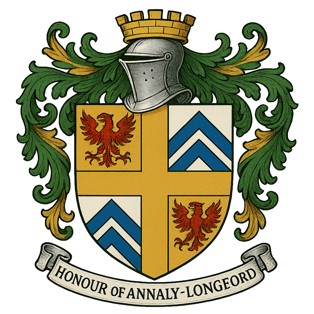
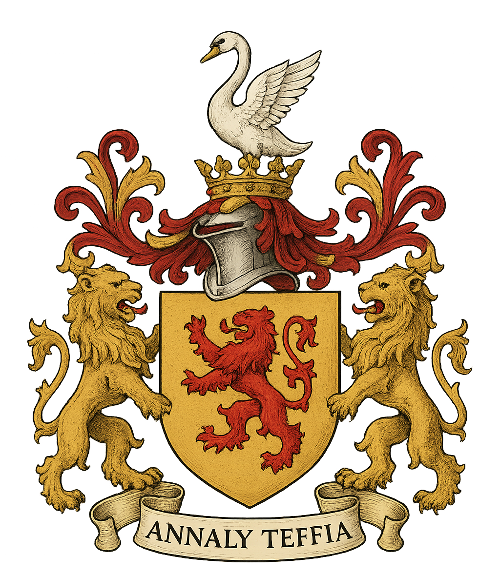
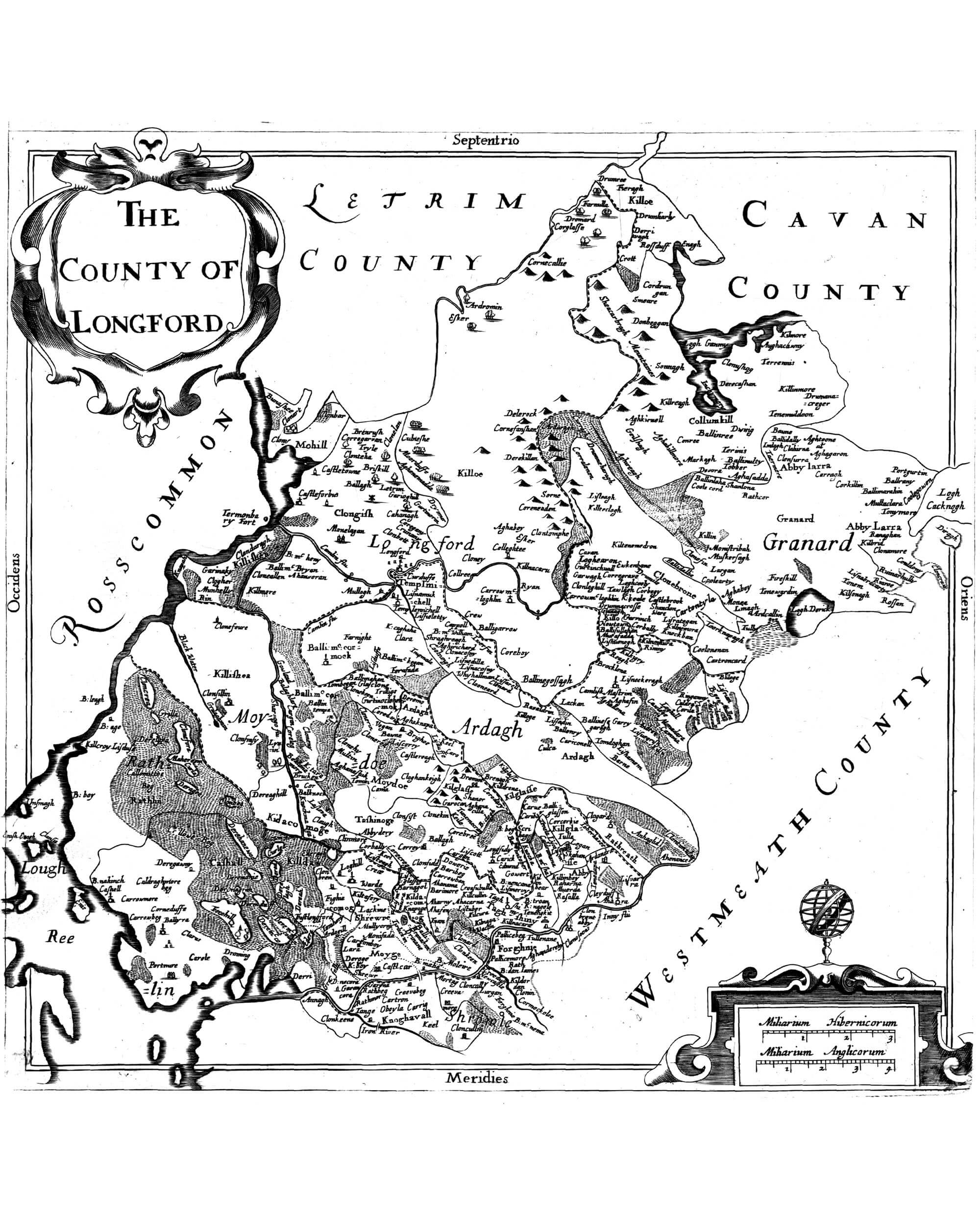
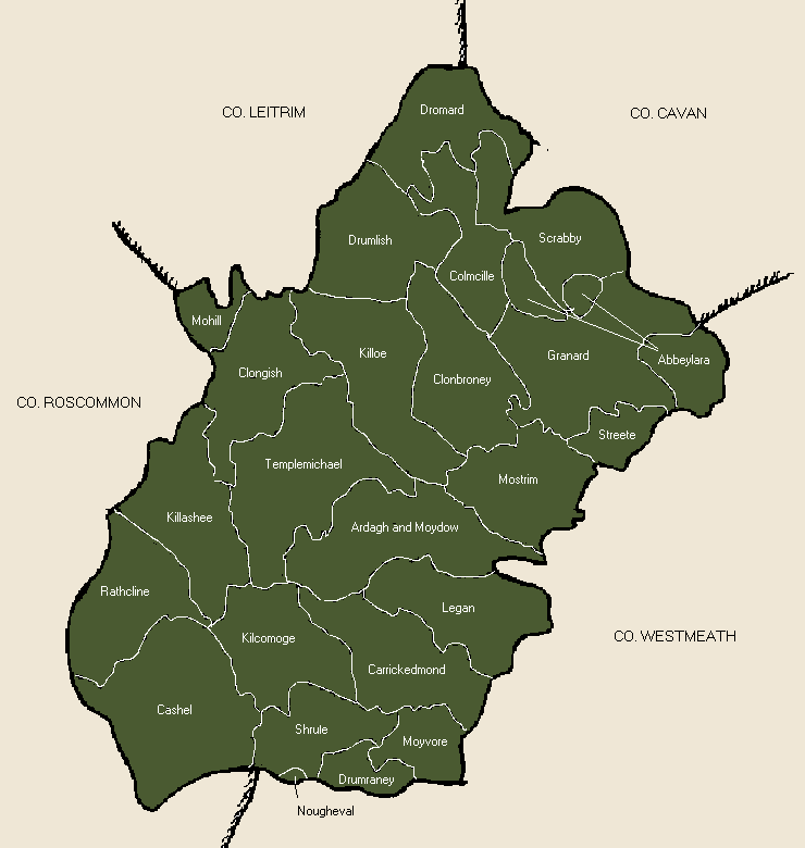
ANNALY, OR LONGFORD.
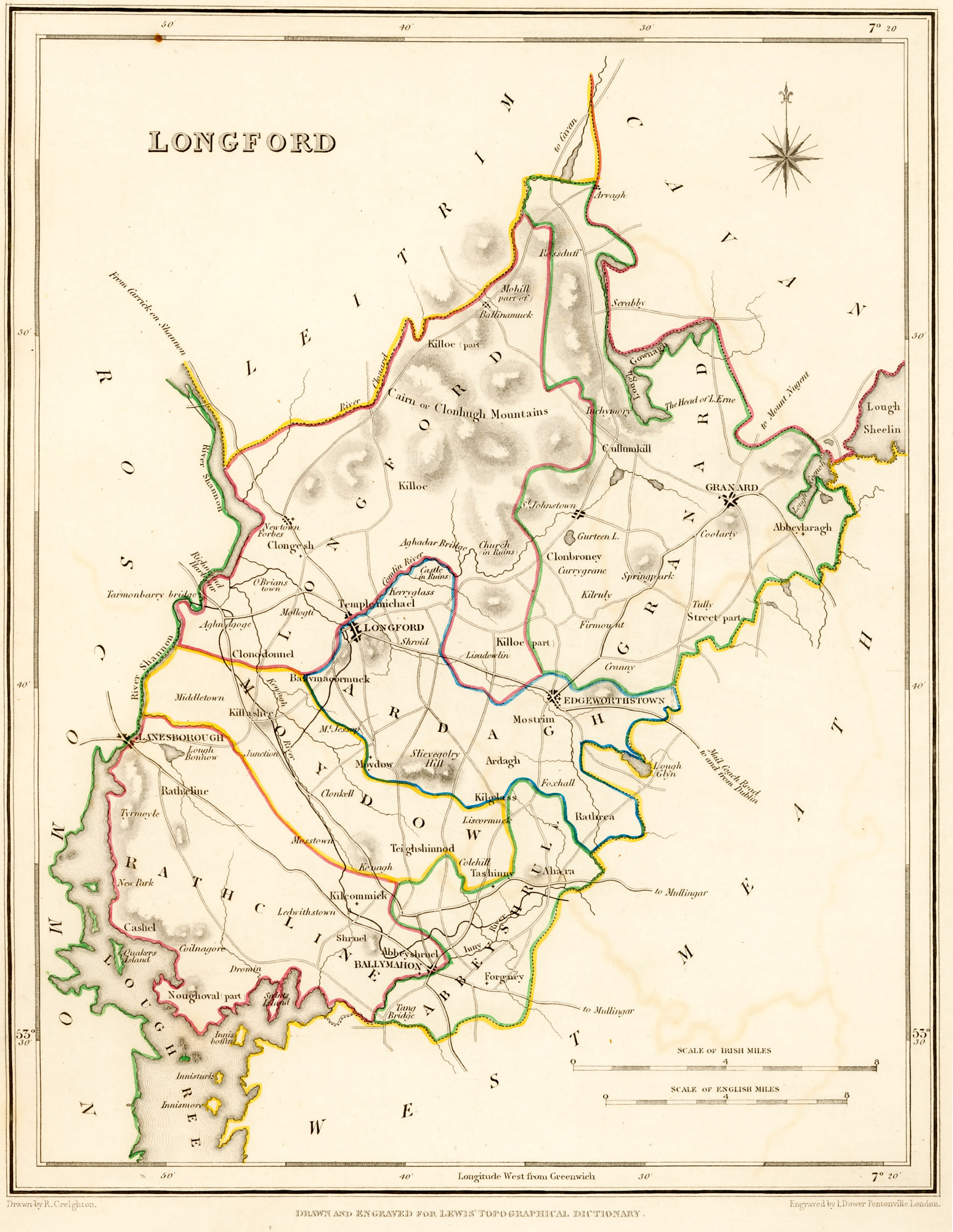
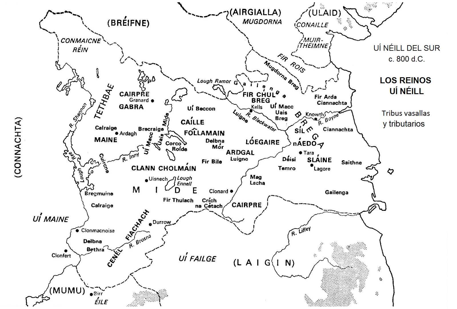
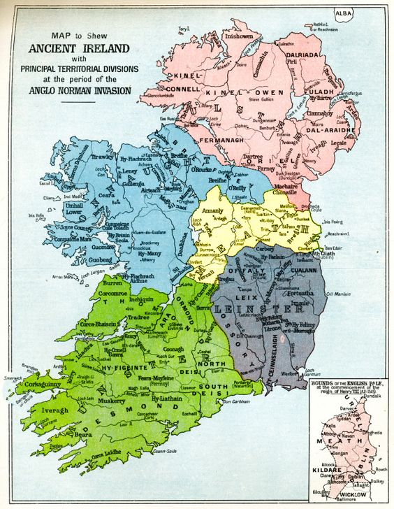
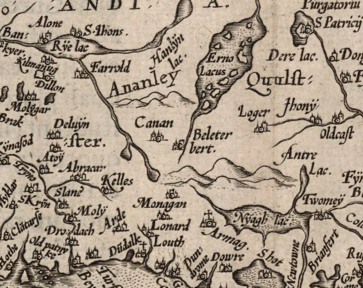
Anghaile or " Annaly," which was formed out of the ancient territory of Teffia,
comprised the whole of the County Longford, and was the principality of O'Farrell. His chief residence was the town
of'' Longford,'' anciently called Longphort-Ui-Fhearghail or the Fortress of O'Farrell. This territory was divided
into Upper and Lower Annaly: the former comprising that part of Longford south of Granard, and a part of the County
Westmeath, was possessed by O'Farrell Buidhe (or O'Farrell the Yellow); the latter, or that portion north of
Granard, was possessed by O'Farrell Ban (or O'Farrell the Fair). The O'Farrells were dispossessed of the eastern
part of this territory by the Tuites and the Delameres, who came over with Hugh de Lacy in the twelfth
century.
Besides the O'Farrells, princes of Annaly, the following
were among the ancient clans in the County Longford: O'Cuinn or O'Qainn, who had his castle at Rathcline which was
later granted to Lord Delvin (Nugent) by King James. The O'Farrells maintained their sovereignty till the
reign of Elizabeth; when Annaly was formed into the County Longford, by the lord deputy Sir Henry
Sidney.
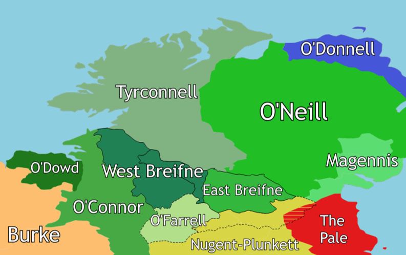
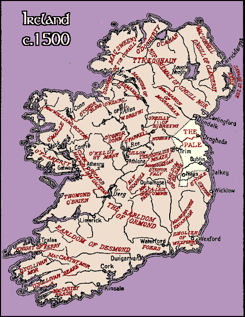
* English Pale: The " English Pale" meant that part of
Ireland occupied by the English settlers. In A.d. 1603, the distinction between the "Pale" and the "Irish Country"
terminated, by the submission of Hugh O'Neill, Earl of Tyrone.
https://commons.wikimedia.org/wiki/File:Northern_Ireland_C._1500.png
| 